Harveng
Sub-municipality of the city of Mons, Belgium
Sub-municipality of Mons in French Community, Belgium
Harveng Harvent (Walloon) | |
|---|---|
Sub-municipality of Mons | |
 | |
Location of Harveng  | |
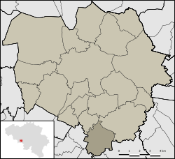 Location of Harveng in Mons | |
50°23′42″N 3°59′13″E / 50.39500°N 3.98694°E / 50.39500; 3.98694 | |
| Country |  Belgium Belgium |
| Community |  French Community French Community |
| Region | Wallonia |
| Province |  Hainaut Hainaut |
| Arrondissement | Mons |
| Municipality | Mons |
| Area | |
| • Total | 6.68 km2 (2.58 sq mi) |
| Population (2020-01-01) | |
| • Total | 473 |
| • Density | 71/km2 (180/sq mi) |
| Postal codes | 7022 |
| Area codes | 065 |
Harveng (French pronunciation: [aʁvɑ̃]; Walloon: Harvent) is a sub-municipality of the city of Mons located in the province of Hainaut, Wallonia, Belgium. It was a separate municipality until 1977. On 1 January 1977, it was merged into Mons.[1]
Gallery
-
 Church Saint-Martin (1780).
 -
 Castle of Marchienne and park (18th/19th centuries)


References
- ^ "LISTE ALPHABETIQUE DES COMMUNES - Fusions de 1963 à 1977" (PDF).
Wikimedia Commons has media related to Harveng.
| Authority control databases: National |
|
|---|
 | This Hainaut Province location article is a stub. You can help Wikipedia by expanding it. |
- v
- t
- e


