Karres
Municipality in Imst, Tyrol, Austria
Place in Tyrol, Austria

Coat of arms
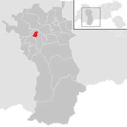
Location in the district
(2018-01-01)[2]
6462
Karres is a municipality and a village in the district of Imst in Austria and is located 2.5 km east of Imst near the mouth of the Pitze River. The village was founded in the Middle Ages because of mining. It has 589 inhabitants.
Population
| Year | Pop. | ±% |
|---|---|---|
| 1869 | 402 | — |
| 1880 | 323 | −19.7% |
| 1890 | 327 | +1.2% |
| 1900 | 323 | −1.2% |
| 1910 | 312 | −3.4% |
| 1923 | 290 | −7.1% |
| 1934 | 293 | +1.0% |
| 1939 | 338 | +15.4% |
| 1951 | 306 | −9.5% |
| 1961 | 354 | +15.7% |
| 1971 | 431 | +21.8% |
| 1981 | 473 | +9.7% |
| 1991 | 509 | +7.6% |
| 2001 | 575 | +13.0% |
| 2011 | 606 | +5.4% |
References
External links
 Media related to Karres at Wikimedia Commons
Authority control databases | |
|---|---|
| International |
|
| National |
|
 | This Tyrol location article is a stub. You can help Wikipedia by expanding it. |
- v
- t
- e


