Kgakala
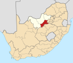
Place in North West, South Africa
27°14′S 26°14′E / 27.233°S 26.233°E / -27.233; 26.233 (2011)[1]
2640
2640
Kgakala is a black township of Leeudoringstad in North West Province of South Africa.
References
- ^ a b c d "Main Place Kgakala". Census 2011.
- v
- t
- e
Municipalities and communities of Dr Kenneth Kaunda District Municipality, North West
District seat: Klerksdorp
 | This North West Province location article is a stub. You can help Wikipedia by expanding it. |
- v
- t
- e


