Lemoyne, Ohio
Unincorporated community in Ohio, U.S.
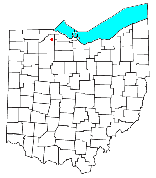
Lemoyne is an unincorporated community in northern Troy Township, Wood County, Ohio, United States.[1]
It has a post office with the ZIP code 43441.[2] It lies along the concurrent U.S. Routes 20 and 23.
History
Lemoyne was platted in 1877 when the railroad was extended to that point.[3] The community most likely bears the French surname of a pioneer settler.[4] A post office called Le Moyne was established in 1877, and the name was changed to Lemoyne in 1893.[5]
References
- ^ U.S. Geological Survey Geographic Names Information System: Lemoyne, Ohio
- ^ Zip Code Lookup
- ^ Leeson, Michael A. (1897). Commemorative Historical and Biographical Record of Wood County, Ohio: Its Past and Present, Early Settlement and Development. J.H. Beers & Company. p. 404.
- ^ Overman, William Daniel (1958). Ohio Town Names. Akron, OH: Atlantic Press. p. 71.
- ^ "Wood County". Jim Forte Postal History. Retrieved January 12, 2016.
- v
- t
- e
Municipalities and communities of Wood County, Ohio, United States
County seat: Bowling Green
- Bowling Green
- Fostoria‡
- Northwood
- Perrysburg
- Rossford

- Bairdstown
- Bloomdale
- Bradner
- Custar
- Cygnet
- Grand Rapids
- Haskins
- Hoytville
- Jerry City
- Luckey
- Millbury
- Milton Center
- North Baltimore
- Pemberville
- Portage
- Risingsun
- Tontogany
- Walbridge
- Wayne
- West Millgrove
- Weston
unincorporated
communities
‡This populated place also has portions in an adjacent county or counties
- Ohio portal
- United States portal
41°29′45″N 83°28′27″W / 41.49583°N 83.47417°W / 41.49583; -83.47417
 | This Wood County, Ohio state location article is a stub. You can help Wikipedia by expanding it. |
- v
- t
- e


