Roby, Missouri
Unincorporated community in the American state of Missouri
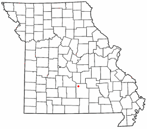

Roby is an unincorporated community in northwestern Texas County, Missouri, United States.[1] It is located approximately sixteen miles northwest of Houston and ten miles south of Fort Leonard Wood at the northern junction of Routes 17 and 32. Roby is home to the "Mark Twain National Forest" campgrounds.
A post office called Roby has been in operation since 1883.[2] The community has the name of Cyrus H. Roby, who kept a store in the area.[3]
References
- ^ U.S. Geological Survey Geographic Names Information System: Roby, Missouri
- ^ "Post Offices". Jim Forte Postal History. Retrieved December 28, 2016.
- ^ "Texas County Place Names, 1928–1945". The State Historical Society of Missouri. Archived from the original on June 24, 2016. Retrieved December 28, 2016.
- v
- t
- e
Municipalities and communities of Texas County, Missouri, United States
County seat: Houston
- Cabool
- Houston
- Licking
- Mountain Grove‡
- Summersville‡

- Plato
- Raymondville
communities
- Alice
- Arroll
- Ashley Creek
- Bado
- Bendavis
- Big Creek
- Bucyrus
- Clara
- Clear Springs
- Dent
- Dunn
- Dykes
- Elk Creek
- Ellis Prairie
- Ellsworth
- Eunice
- Evening Shade
- Fowler
- Guild
- Hartshorn
- Huggins
- Kimble
- Kinderpost
- Ladd
- Lundy
- Mahan
- Maples
- Mitchells Corner
- Nile
- Oscar
- Pleasant Ridge
- Prescott
- Roby
- Samoa
- Sargent
- Sherrill
- Simmons
- Solo
- Stultz
- Success
- Tyrone
- Upton
- Vada
- Varvol
- Venable
- Yukon
‡This populated place also has portions in an adjacent county or counties
- Missouri portal
- United States portal
37°30′56″N 92°08′21″W / 37.51556°N 92.13917°W / 37.51556; -92.13917
 | This Texas County, Missouri state location article is a stub. You can help Wikipedia by expanding it. |
- v
- t
- e


